Carberry Topo Map Online
Download Free Topo Map Sheet 062G14 at 1:50,000 scale
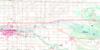
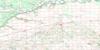
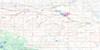
062G14 Carberry Topo Map
To view this map, mouse over the map preview on the right.
You can also download this topo map for free:
062G14 Carberry high-resolution topo map image.
Maps for the Carberry topo map sheet 062G14 at 1:50,000 scale are also available in these versions:
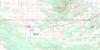
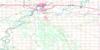
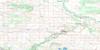
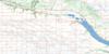
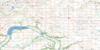
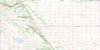
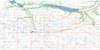
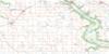
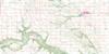
Carberry Surrounding Area Topo Maps
 |
 |
 |
 |
 |
 |
 |
 |
 |
 |
 |
 |
 |
 |
 |
 |
© Department of Natural Resources Canada. All rights reserved.
Carberry Gazetteer
The following places can be found on topographic map sheet 062G14 Carberry:
Carberry Topo Map: Hydraulic construction
Jackson Lake DamLeppington Drain
Carberry Topo Map: Indian Reserves
Swan Lake 7aCarberry Topo Map: Lakes
Jackson LakeMurphys Lake
Whitelaws Lake
Carberry Topo Map: Military areas
Champ de tir et champ de manoeuvre ShiloShilo Range and Training Area
Carberry Topo Map: Other municipal/district area - miscellaneous
North CypressNorth Norfolk
Victoria
Carberry Topo Map: Conservation areas
Seton Provincial ParkSpruce Woods Provincial Forest
Spruce Woods Provincial Park
Spruce Woods Wildlife Refuge
Carberry Topo Map: Plains
Little PlainCarberry Topo Map: Rivers
Epinette CreekJackson Creek
Pine Creek
Carberry Topo Map: Road features
Parks RouteRoute des parcs
Carberry Topo Map: Towns
CarberryCarberry Topo Map: Unincorporated areas
ArizonaBrandon Junction
Carberry Junction
Castle Point
Fairview
Firdale
Gateside
Gregg
Harte
Melbourne
Petrel
Petrel Junction
Pleasant Point
Prosser
Sidney
Worby
Carberry Topo Map: Low vegetation
Douglas Marsh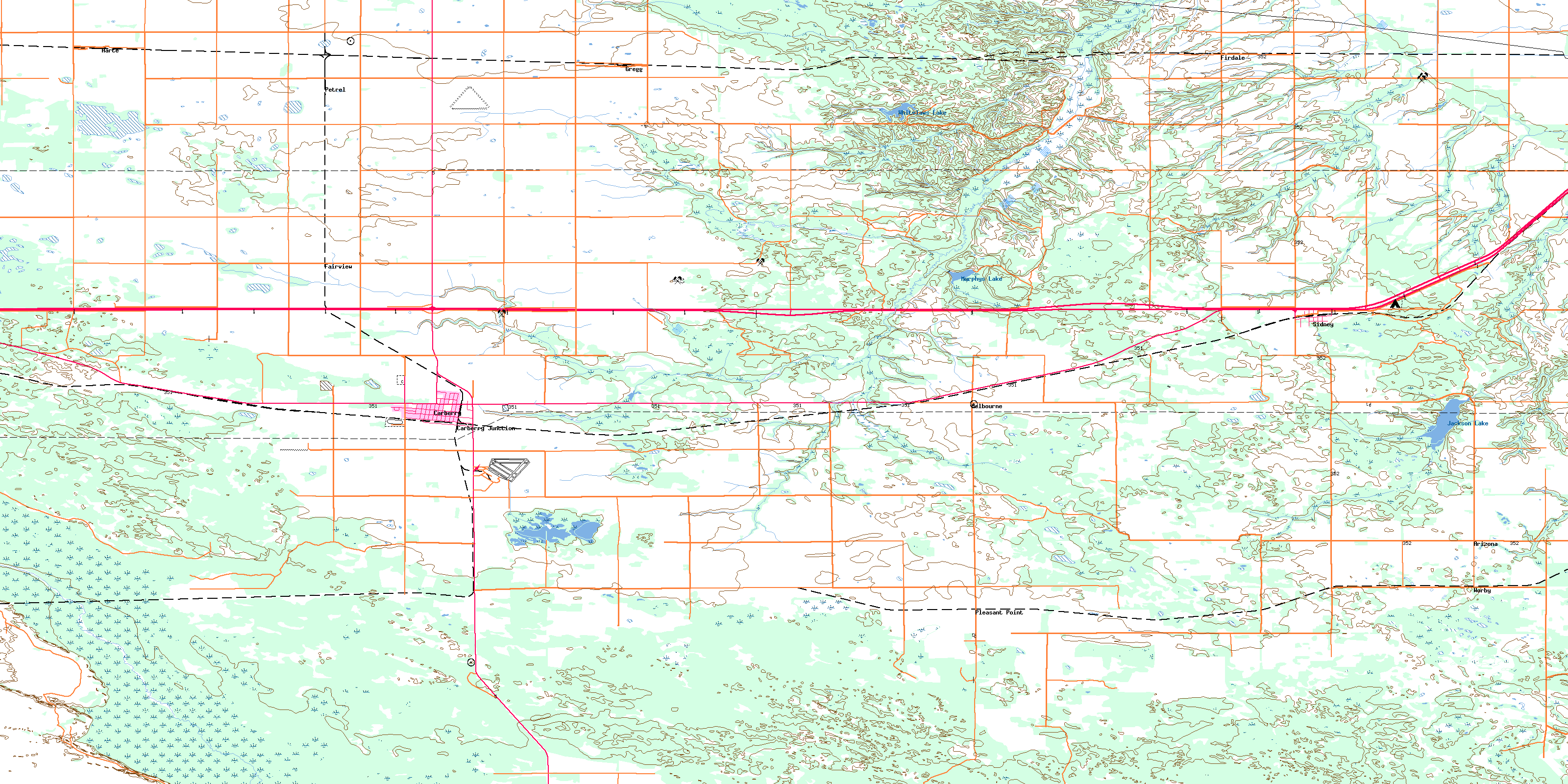
© Department of Natural Resources Canada. All rights reserved.
