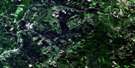
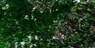
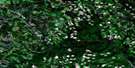
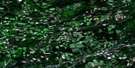
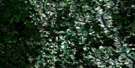
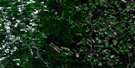
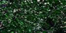
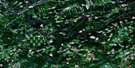
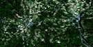
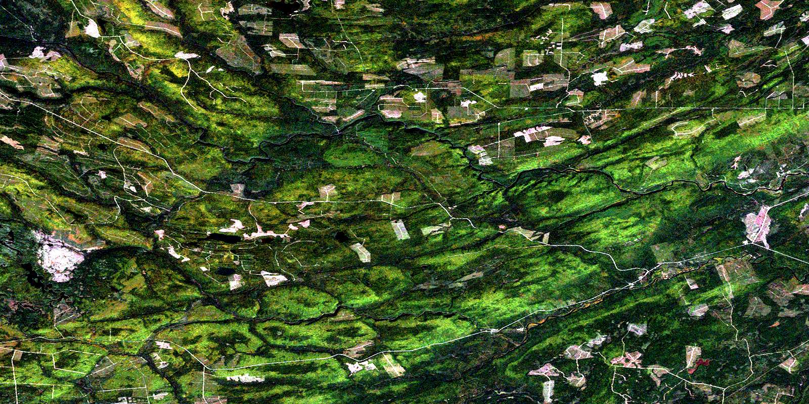
Mckendrick Lake Satellite Image Map
Download Free Aerial Photo 021J16 at 1:50,000 scale
Mckendrick Lake Satellite Imagery
To view this satellite map, mouse over the air photo on the right.
You can also download this satellite image map for free:
021J16 Mckendrick Lake high-resolution satellite image map.
Maps for the Mckendrick Lake aerial map sheet 021J16 at 1:50,000 scale are also available in these versions:
Mckendrick Lake Surrounding Area Aerial Photo Maps
 |
 |
 |
 |
 |
 |
 |
 |
 |
 |
 |
 |
 |
 |
 |
 |
© Department of Natural Resources Canada. All rights reserved.
Mckendrick Lake Gazetteer
The following places can be found on satellite image map 021J16 Mckendrick Lake:
Mckendrick Lake Satellite Image: Geographical areas
BlackvilleBlissfield
Northumberland
Southesk
Mckendrick Lake Satellite Image: Lakes
Blind LakeBurnt Lake
Catamaran Lake
Fowler Lake
Kennedy Lake
Kennedy Lakes
Little McKendrick Lake
Little Trousers Lake
Lower Kennedy Lake
Main Kennedy Lake
Mains Lake
Malcolm Lake
McKendrick Lake
Moran Lake
Moran Ponds
Morrison Brook Lake
North Lake
Rock Ponds
Rocky Brook Lake
Second Fowler Lake
South Lake
Spikehorn Lake
Stinking Lake
Upper Libbies Pond
Whitney Pond
Mckendrick Lake Satellite Image: Mountains
Hardwood RidgeMaple Hill
Tomahawk Ridge
Mckendrick Lake Satellite Image: Rapids
Gillices RapidsMckendrick Lake Satellite Image: Rivers
Bamford BrookCatamaran Brook
Crown Point Brook
Devils Back Brook
Devils Brook
Dungarvon River
Father Murdoch Brook
Guagus Stream
Jack O'Brien Brook
Lake Brook
Lake Brook
Libbies Brook
Libbies Brook
Little Ottawa Branch
Little Sevogle River
Little Sevogle River
Little South Branch Renous River
Little South Renous River
Little Southwest Miramichi River
Lower Libbies Brook
Lower North Branch Little Southwest Miramichi River
Mains Brook
Malcolm Brook
McGraw Brook
McKendrick Brook
McNeal Brook
Meadow Brook
Meadow Brook
Monaghan Brook
Monaghan Brook
Moran Brook
Morrison Brook
Mullin Stream
Nicholson Brook
North Branch Little Sevogle River
North Branch McNeal Brook
North Branch Monaghan Brook
North Branch Renous River
North Pole Brook
North Pole Stream
North Renous River
Orchard Brook
Otter Brook
Parks Brook
Porcupine Brook
Quigley Brook
Redstone Brook
Renous River
Rocky Brook
Shields Brook
Shore Camp Brook
South Branch Little Sevogle River
South Branch McNeal Brook
South Branch Monaghan Brook
South Branch Renous River
South Monaghan Brook
South Renous River
Sutherland Brook
Underwood Brook
Upper Libbies Brook
Upper McGraw Brook
Whetstone Brook
Whitestone Brook
Mckendrick Lake Satellite Image: River features
Renous ForksMckendrick Lake Satellite Image: Unincorporated areas
DennisMcGraw Brook
Munsons Landing
Ramsay Lodge
Red Rock
© Department of Natural Resources Canada. All rights reserved.
021J Related Maps:
021J Woodstock021J01 Minto
021J02 Burtts Corner
021J03 Millville
021J04 Woodstock
021J05 Florenceville
021J06 Coldstream
021J07 Napadogan
021J08 Boiestown
021J09 Doaktown
021J10 Hayesville
021J11 Juniper
021J12 Perth-Andover
021J13 Aroostook
021J14 Plaster Rock
021J15 Tuadook Lake
021J16 Mckendrick Lake
