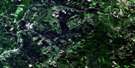
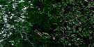
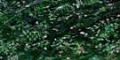
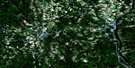
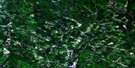
Woodstock Satellite Image Map
Download Free Aerial Photo 021J04 at 1:50,000 scale
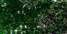
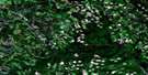
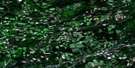
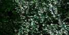
Woodstock Satellite Imagery
To view this satellite map, mouse over the air photo on the right.
You can also download this satellite image map for free:
021J04 Woodstock high-resolution satellite image map.
Maps for the Woodstock aerial map sheet 021J04 at 1:50,000 scale are also available in these versions:
Woodstock Surrounding Area Aerial Photo Maps
 |
 |
 |
 |
 |
 |
 |
 |
 |
 |
 |
 |
 |
 |
 |
 |
© Department of Natural Resources Canada. All rights reserved.
Woodstock Gazetteer
The following places can be found on satellite image map 021J04 Woodstock:
Woodstock Satellite Image: Bays
Essepenack CoveGrafton Cove
Gyles Cove
Old Kirk Cove
Sigahaw Cove
Woodstock Cove
Woodstock Satellite Image: Beaches
Grand BarPhillips Flat
Sharps Flat
Woodstock Satellite Image: Capes
Old Kirk PointWoodstock Satellite Image: Falls
Hays FallsJackson Falls
Woodstock Satellite Image: Geographical areas
CarletonRichmond
Wakefield
Woodstock
Woodstock Satellite Image: Indian Reserves
Woodstock 23Woodstock Satellite Image: Islands
Bulls IslandFiddlehead Island
Indian Island
Island Park
Meductic Island
Pine Island
Riordan Island
Riordan Islets
Sharps Island
Woodstock Island
Woodstock Satellite Image: Lakes
Asphaltes LakeBennetts Lake
Curries Lake
Greens Lake
Green's Lake
Hays Lake
Henderson Lake
Mactaquac Lake
Morrison Lake
Mud Lake
Payson Lake
Rosamond Lake
Saunderson Lake
Sherwood Lake
Sherwood Lakes
Woodstock Satellite Image: Mountains
Benton RidgeEstabrooks Mountain
Hovey Hill
Iron Ore Hill
Iron Ore Hill
Maple Hill
Moody Hill
Moody Hill
Oak Mountain
Parks Hill
Poverty Peak
Sharps Mountain
Spruce Peak
Woodstock Satellite Image: Conservation areas
Ancien palais de justice du comté de CarletonDr. George F. Clarke House
Hays Falls Provincial Park Reserve
Maison du Dr. George F. Clarke
Old Carleton County Court House
Woodstock Satellite Image: Rivers
Ackers BrookAckers Creek
Bedell Brook
Bedell Brook
Benn Brook
Bull Creek
Bulls Creek
Caldwell Brook
Campbells Brook
Carters Brook
Clarks Brook
Connell Brook
Connells Brook
Crane Brook
Debec Brook
Downey Brook
Fish Creek
Gibson Creek
Gibson Millstream
Gidney Brook
Hagerman Brook
Harper Brook
Hays Brook
Hodgdon Brook
Hopkins Brook
Johnston Brook
Johnstons Brook
Lanes Creek
Lilly Brook
Little Bedell Brook
MacDonald Brook
Marven Brook
Meduxnekeag River
Mill Brook
Mill Stream
North Branch Meduxnekeag River
North Meduxnekeag River
Peabody Brook
Phillips Creek
Pocomoonshine Brook
Rivière Saint-Jean
Saint John River
Shaws Creek
Shea Brook
Smith Brook
Strongs Brook
Two Mile Brook
Upham Brook
Wallace Brook
Whirly Brook
Wright Brook
Woodstock Satellite Image: River features
Pocomoonshine DeadwaterWoodstock Reach
Woodstock Satellite Image: Shoals
Clowes ShoalsWoodstock Satellite Image: Towns
WoodstockWoodstock Satellite Image: Unincorporated areas
BedellBedell Settlement
Belleville
Benton Ridge
Blowdown
Blowdown Settlement
Briggs Corner
Bulls Creek
Campbell Settlement
Debec
Debec Junction
Dibblee
Elmwood
Elmwood Station
Farmerston
Ferryville
Flemington
Flemmington
Grafton
Grafton Hill
Green Road
Hartford
Hillman
Houlton Road
Indian Village
Irish Settlement
Ivy Corner
Jackson Falls
Jacksontown
Jacksonville
Limestone
Lindsay
Lower Brighton
Lower Northampton
Lower Wakefield
Lower Waterville
Lower Woodstock
Mapledale
McKenna
McKenzie Corner
Newbridge
Newburg
Newburg Junction
Newburg Settlement
Northampton
Northampton
Oak
Oak Mountain
Oakville
Pembroke
Phillips
Plymouth
Riceville
Richmond Corner
Richmond Settlement
Rosedale
Scott Settlement
South Greenfield
South Newbridge
Speerville
Starkey Corners
Starkey's Corner
Tapley Mills
Tapleys Mills
Teeds Mill
Teeds Mills
Union Corner
Upper Northampton
Upper Woodstock
Valley
Wakefield
Watson Settlement
Wickham
Woodstock Satellite Image: Valleys
Smoky HollowThe Gully
Woodstock Satellite Image: Low vegetation
Meduxnekeag Intervale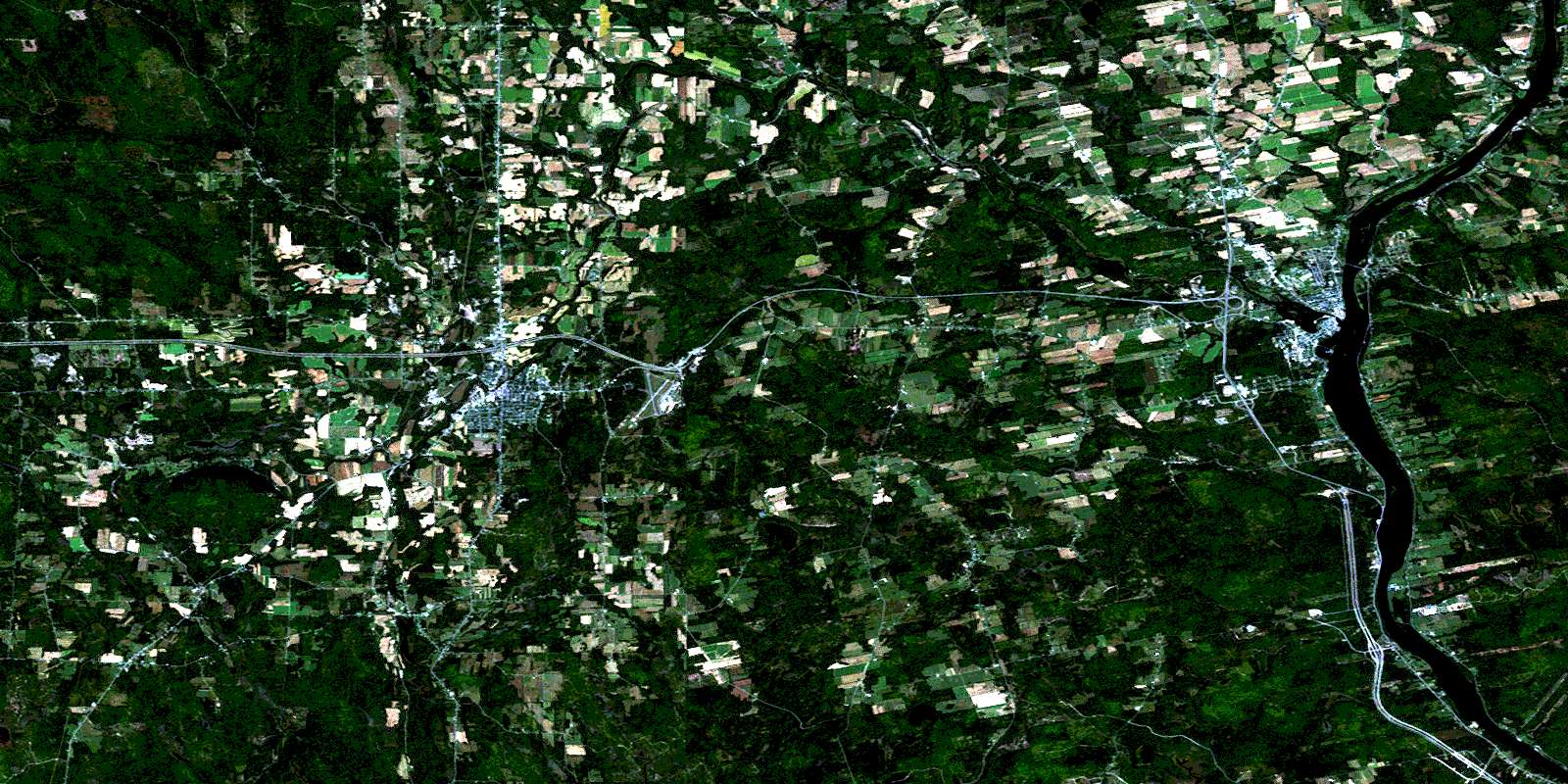
© Department of Natural Resources Canada. All rights reserved.
021J Related Maps:
021J Woodstock021J01 Minto
021J02 Burtts Corner
021J03 Millville
021J04 Woodstock
021J05 Florenceville
021J06 Coldstream
021J07 Napadogan
021J08 Boiestown
021J09 Doaktown
021J10 Hayesville
021J11 Juniper
021J12 Perth-Andover
021J13 Aroostook
021J14 Plaster Rock
021J15 Tuadook Lake
021J16 Mckendrick Lake
