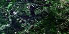
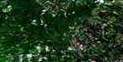
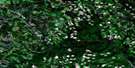
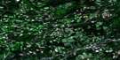
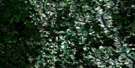
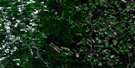
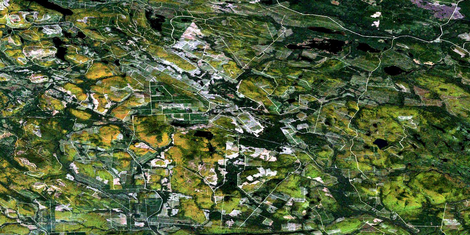
Tuadook Lake Satellite Image Map
Download Free Aerial Photo 021J15 at 1:50,000 scale
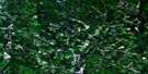
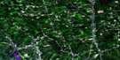
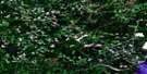
Tuadook Lake Satellite Imagery
To view this satellite map, mouse over the air photo on the right.
You can also download this satellite image map for free:
021J15 Tuadook Lake high-resolution satellite image map.
Maps for the Tuadook Lake aerial map sheet 021J15 at 1:50,000 scale are also available in these versions:
Tuadook Lake Surrounding Area Aerial Photo Maps
 |
 |
 |
 |
 |
 |
 |
 |
 |
 |
 |
 |
 |
 |
 |
 |
© Department of Natural Resources Canada. All rights reserved.
Tuadook Lake Gazetteer
The following places can be found on satellite image map 021J15 Tuadook Lake:
Tuadook Lake Satellite Image: Bays
Cow BayLeft Hand Leg
Right Hand Leg
Tuadook Lake Satellite Image: Channels
The JawsTuadook Lake Satellite Image: Falls
Indian FallsTuadook Lake Satellite Image: Geographical areas
SoutheskTuadook Lake Satellite Image: Lakes
Bear LakeBeaver Lake
Berton Lake
Billings Lake
Braithwaite Lake
Burk Lake
Burton Lake
Cabot Lake
Caribou Lake
Carson Lake
Chestnut Lakes
Clark Lake
Clearwater Lake
Costigan Lake
Crane Lake
Deer Lake
Depot Lake
Duck Lake
Feigenspan Lakes
First Fish Lake
First Fowler Lake
First Lake
Fish Lake
Fish Lakes
Forty Seven Lake
Fox Lake
Furbish Pond
Geordie Lake
Grassy Lake
Gray Lake
Gulquac Lake
Halfmoon Lake
Holmes Lake
Indian Lake
Indian Lake
Irland Pond
Island Lake
Jacks Lake
Joe Lake
Kennedy Lakes
Kipler Lake
Lake Brook Lake
Little Bear Lake
Little Indian Lake
Lost Beaver Lake
Louis Lake
Lower Billings Lake
Lower Kennedy Lake
Melville Lake
Merrithew Lake
Moccasin Lake
Moose Lake
Mud Lake
Mud Lake
Mud Lake
Nealis Lake
North Renous Lake
Ogilvie Lake
Ogilvie Lakes
Parker Lake
Peaked Mountain Lake
Peaked Mountain Lakes
Peanut Lake
Pear Lake
Peeked Mountain Lakes
Pocket Lake
Reeds Brook Lake
Reeds Lake
Reid Lake
Round Pond
Rumsey Lake
Second Fish Lake
Smiths Lake
Spider Lake
Squaw Lake
Townsend Pond
Trousers Lake
Trout Lake
Tuadook (Little Southwest Miramichi) Lake
Tuadook Lake
Twin Lakes
Upper Kennedy Lake
Upper Long Lake
Upper Peaked Mountain Lake
Yellow Lakes
Young Bull Lake
Tuadook Lake Satellite Image: Mountains
Bertons RidgeBraithwaite Mountain
Carson Hill
Clearwater Mountain
Divide Mountains
Fowler Mountain
Fox Ridge
Little County Line Mountain
Lyles Mountain
Martins Bluff
Redstone Mountain
Risteen Mountains
Robinson Ridge
Rumsey Ridge
Shunabit Mountain
Smiths Mountain
The Horseback
Tuadook Lake Satellite Image: Rivers
Bamford BrookCountry Line Brook
Crooked Brook
Dungarvon River
Dungarvon River
Fairley Brook
Fall Brook
Fish Brook
Forty Seven Brook
Fox Brook
Gulch Brook
Gulquac River
Indian Brook
Irland Brook
Lake Branch Gulquac River
Lake Brook
Lake Brook
Lake Brook
Lake Brook
Left Hand Branch River de Chute
Little Dungarvon River
Little North Branch Renous River
Little North Pole Brook
Little Northeast Branch Clearwater Brook
Little Northeast Clearwater Brook
Little Ottawa Branch
Little Southwest Miramichi River
Mains Brook
McCoy Brook
North Branch Burnthill Brook
North Branch Dungarvon River
North Branch of Burnt Hill Brook
North Branch Renous River
North Burnthill Brook
North Dungarvon River
North Renous River
Northeast Branch Clearwater Brook
Northeast Clearwater Brook
Northwest Branch Little Southwest Miramichi River
Northwest Inlet
Pond Brook
Redstone Brook
Reeds Brook
South Branch Dungarvon River
South Branch Renous River
South Dungarvon River
South Renous River
Squaw Barren Brook
Stone Brook
Trafton Brook
Tuadook River
Turnbull Brook
Twin Lakes Brook
Wapskehegan River
West Branch Little Southwest Miramichi River
Yellow Brook
Tuadook Lake Satellite Image: River features
Big DeadwaterCrooked Deadwater
Gulquac Deadwater
Long Deadwater
Lower Deadwater
Mud Lake Deadwater
Smiths Forks
Upper Forks
Tuadook Lake Satellite Image: Unincorporated areas
LicfordLoggie Lodge
Pratts Camp
Tuadook Lake Satellite Image: Valleys
Rough GulchTuadook Lake Satellite Image: Low vegetation
Squaw BarrenTrafton Barrens
© Department of Natural Resources Canada. All rights reserved.
021J Related Maps:
021J Woodstock021J01 Minto
021J02 Burtts Corner
021J03 Millville
021J04 Woodstock
021J05 Florenceville
021J06 Coldstream
021J07 Napadogan
021J08 Boiestown
021J09 Doaktown
021J10 Hayesville
021J11 Juniper
021J12 Perth-Andover
021J13 Aroostook
021J14 Plaster Rock
021J15 Tuadook Lake
021J16 Mckendrick Lake
