Napadogan Satellite Image Map
Download Free Aerial Photo 021J07 at 1:50,000 scale
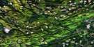
Napadogan Satellite Imagery
To view this satellite map, mouse over the air photo on the right.
You can also download this satellite image map for free:
021J07 Napadogan high-resolution satellite image map.
Maps for the Napadogan aerial map sheet 021J07 at 1:50,000 scale are also available in these versions:
Napadogan Surrounding Area Aerial Photo Maps
 |
 |
 |
 |
 |
 |
 |
 |
 |
 |
 |
 |
 |
 |
 |
 |
© Department of Natural Resources Canada. All rights reserved.
Napadogan Gazetteer
The following places can be found on satellite image map 021J07 Napadogan:
Napadogan Satellite Image: Geographical areas
DouglasStanley
Napadogan Satellite Image: Islands
Birch IslandLouie Island
Palmer Island
Napadogan Satellite Image: Lakes
Arnold Brook LakeFleetwood Lakes
Lower Nashwaak Lake
Marten Lake
Martha Lake
Miramichi Lake
Napadogan Lake
Rocky Brook Lake
Stones Lake
Napadogan Satellite Image: Mountains
Otter Slide MountainTurnbull Mountain
Winding Hill
Napadogan Satellite Image: Rapids
Hells GatesLittle Louie Rapids
Louies Pup Rapids
Napadogan Satellite Image: Rivers
Arnold BrookBartlett Brook
Bests Brook
Birch Brook
Brewer Brook
Broad Arrow Brook
Cathle Brook
Clearwater Brook
Cross Creek
East Branch Napadogan Brook
East Branch Stewart Brook
English Brook
Falls Brook
Five Mile Brook
Four Mile Brook
Frenchmans Brook
Glen Brook
Grand John Brook
Hinchey Brook
Hovey Brook
Jewett Brook
Lake Brook
Lake Brook
Limekiln Brook
Little South Branch Taxis River
Lower Hayden Brook
MacPherson Brook
Main Southwest Miramichi River
Manzer Brook
McCallum Brook
McGidney Brook
McGivney Brook
McLean Brook
McMillan Brook
McPherson Brook
Meadow Brook
Middle Brook
Middle Hayden Brook
Miramichi River
Napadogan Brook
Nashwaak River
North Branch Cross Creek
North Branch Taxis River
Otter Brook
Palmer Brook
Pidgeon Brook
Radagan Brook
Robinson Brook
Rock Brook
Rocky Brook
Ryan Brook
Sands Brook
Six Mile Brook
South Branch Taxis River
Southwest Miramichi River
Standish Brook
Stewart and Lewis Brook
Stewart Brook
Tamarack Brook
Taxis River
Taxis River
Two Mile Brook
Upper Hayden Brook
Wadham Brook
West Branch Burnt Land Brook
West Branch Clearwater Brook
West Branch Cross Creek
West Branch Stewart Brook
Young Brook
Youngs Brook
Napadogan Satellite Image: River features
McKiel BoganMcLean Brook Deadwater
Napadogan Satellite Image: Unincorporated areas
Boyds CornerCentreville
Clearwater
Cross Creek
Cross Creek Station
Currieburg
English Settlement
Fredericksburg
Giants Glen
Glencoe
Gordon Vale
Green Hill
Limekiln
Maple Grove
Maple Grove Station
Mavis Mills
McGivney
Napadogan
Parker Ridge
Red Rock
South Portage
Sutherland
Sutherland Siding
The Glen
Ward Settlement
Williamsburg
Napadogan Satellite Image: Villages
Stanley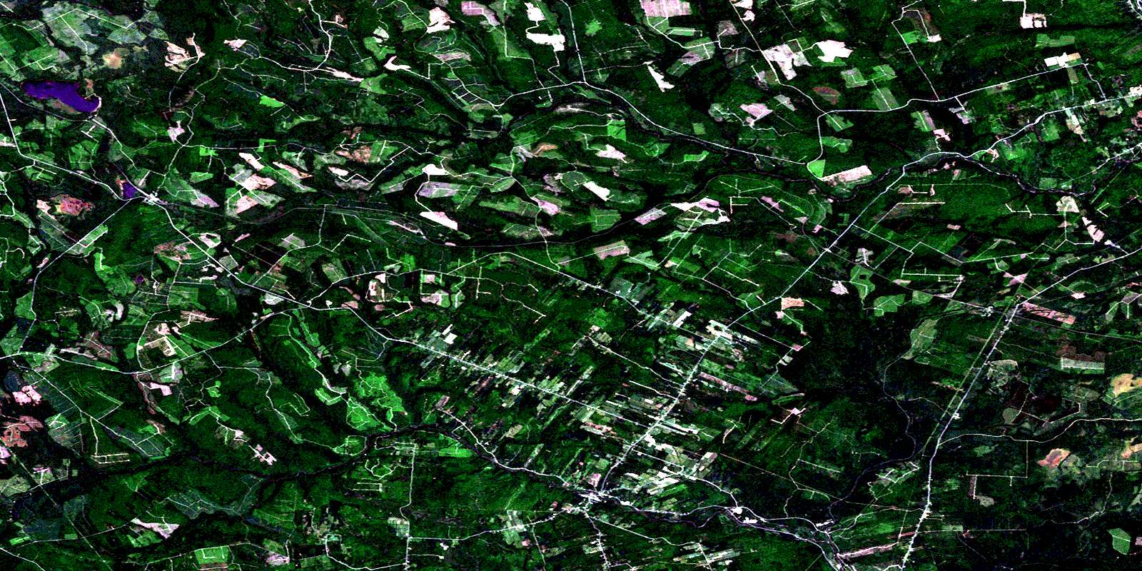
© Department of Natural Resources Canada. All rights reserved.
021J Related Maps:
021J Woodstock021J01 Minto
021J02 Burtts Corner
021J03 Millville
021J04 Woodstock
021J05 Florenceville
021J06 Coldstream
021J07 Napadogan
021J08 Boiestown
021J09 Doaktown
021J10 Hayesville
021J11 Juniper
021J12 Perth-Andover
021J13 Aroostook
021J14 Plaster Rock
021J15 Tuadook Lake
021J16 Mckendrick Lake
