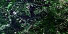
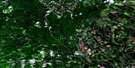
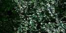
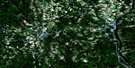
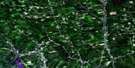
Coldstream Satellite Image Map
Download Free Aerial Photo 021J06 at 1:50,000 scale
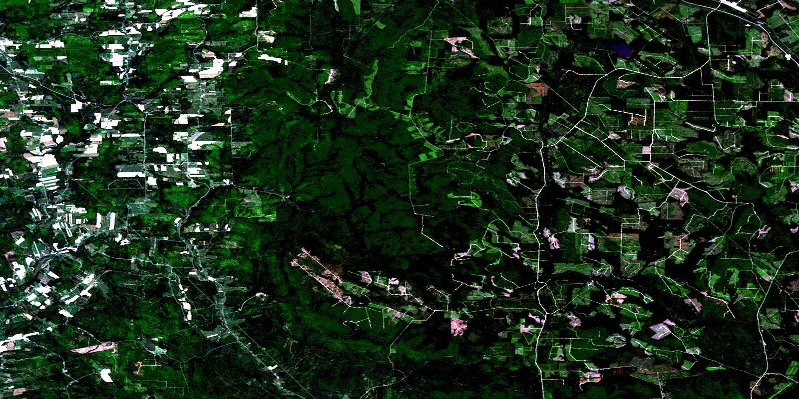
Coldstream Satellite Imagery
To view this satellite map, mouse over the air photo on the right.
You can also download this satellite image map for free:
021J06 Coldstream high-resolution satellite image map.
Maps for the Coldstream aerial map sheet 021J06 at 1:50,000 scale are also available in these versions:
Coldstream Surrounding Area Aerial Photo Maps
 |
 |
 |
 |
 |
 |
 |
 |
 |
 |
 |
 |
 |
 |
 |
 |
© Department of Natural Resources Canada. All rights reserved.
Coldstream Gazetteer
The following places can be found on satellite image map 021J06 Coldstream:
Coldstream Satellite Image: Bays
Half Moon CoveColdstream Satellite Image: Channels
The NarrowsColdstream Satellite Image: Geographical areas
AberdeenBrighton
Carleton
Douglas
Coldstream Satellite Image: Islands
Rocky IslandColdstream Satellite Image: Lakes
Barker LakeBecaguimec Lake
Cedar Lake
Cedar Lake
Chainy Lakes
Christmas Lake
Doughboy Lake
Howard Peak Lake
Little Doughboy Lakes
Little Owl Lake
Long Lake
Lost Lake
Malcolm Lake
Mud Lake
Mud Lake
Nashwaak Lake
Owl Lake
Sills Lake
Silver Lake
Trouser Lake
Coldstream Satellite Image: Mountains
Billy Brown MountainBrighton Mountain
Garvey Mountain
Garvie Mountain
Golden Ridge
Howard Peak
Mount Frederick Clarke
Narrows Mountain
Skedaddle Ridge
Spruce Knoll
Spruce Peak
Coldstream Satellite Image: Rivers
Barker BrookBeaver Brook
Becaguimec Stream
Belyea Brook
Big Presque Isle Stream
Biggar Brook
Bird Brook
Black Brook
Black Brook
Black Brook
Brandy Brook
Broad Arrow Brook
Brummagem Brook
Burlock Brook
Burntland Brook
Cold Stream
Conroy Brook
Conroy Brook
Craig Brook
Cross Creek
Day Brook
Deep Creek
Dickinson Brook
Doughboy Brook
Dry Brook
East Branch Napadogan Brook
East Branch Nashwaak River
East Brook
Fall Brook
Five Mile Brook
Frenchmans Brook
Gin Brook
Ginson Brook
Governors Brook
Hamilton Brook
Hayden Brook
Hayden Brook
Howard Brook
Jamieson Brook
Jenson Brook
Keswick River
Lake Brook
Little Clearwater Brook
Little Doughboy Brook
Little Fork Brook
Little Forks Brook
Little Pokiok Brook
Little Pokiok Brook
Lower Howard Brook
MacIntosh Brook
Main Southwest Miramichi River
Manzer Brook
Markey Brook
McBean Brook
McDonald Brook
McLean Brook
Middle Brook
Mill Brook
Nackawic River
Nackawic Stream
Napadogan Brook
Narrows Mountain Brook
Nashwaak River
North Becaguimec River
North Branch Becaguimec Stream
North Sister Brook
North Sisters Brook
Northwest Napadogan Brook
Otter Brook
Pokiok Brook
Rideout Brook
Shikatehawk River
Shikatehawk Stream
Shiktahawk River
Sills Brook
Sisson Brook
South Branch Becaguimec Stream
South Branch Southwest Miramichi River
South Sister Brook
South Sisters Brook
Southwest Miramichi River
Southwest Miramichi River
Tamarac Brook
Tamarack Brook
Upper Howard Brook
Welch Brook
West Branch Keswick River
West Branch Napadogan Brook
West Branch Nashwaak River
West Keswick River
West Nashwaak River
Coldstream Satellite Image: River features
Becaguimec ForksNapadogan Forks
Coldstream Satellite Image: Springs
Lindsay SpringColdstream Satellite Image: Unincorporated areas
ArmondAshland
Bannon
Carlisle
Cloverdale
Coldstream
Coldstream East
Deersdale
Dow Settlement
East Brighton
East Cloverdale
East Coldstream
East Knowlesville
Esdraelon
Glassville
Golden Ridge
Gray Ridge
Half Moon Cove
Half Moon Pit
Hemphill Corner
Highlands
Howard Brook
Jericho
Ketchum Ridge
Knowlesville
Lower Brighton
Lower Cloverdale
Lower Windsor
Main Stream
Mainstream
Mount Pleasant
Mountain View
Northville
Pole Hill
South Gordonsville
South Knowlesville
South Ridge
Stormdale
West Glassville
Windsor
© Department of Natural Resources Canada. All rights reserved.
021J Related Maps:
021J Woodstock021J01 Minto
021J02 Burtts Corner
021J03 Millville
021J04 Woodstock
021J05 Florenceville
021J06 Coldstream
021J07 Napadogan
021J08 Boiestown
021J09 Doaktown
021J10 Hayesville
021J11 Juniper
021J12 Perth-Andover
021J13 Aroostook
021J14 Plaster Rock
021J15 Tuadook Lake
021J16 Mckendrick Lake
