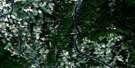
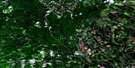
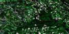
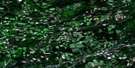
Plaster Rock Satellite Image Map
Download Free Aerial Photo 021J14 at 1:50,000 scale
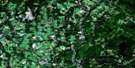
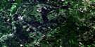
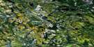
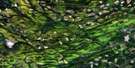
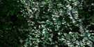
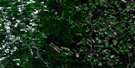
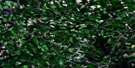
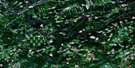
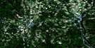
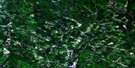
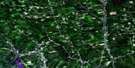
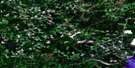
Plaster Rock Satellite Imagery
To view this satellite map, mouse over the air photo on the right.
You can also download this satellite image map for free:
021J14 Plaster Rock high-resolution satellite image map.
Maps for the Plaster Rock aerial map sheet 021J14 at 1:50,000 scale are also available in these versions:
Plaster Rock Surrounding Area Aerial Photo Maps
 |
 |
 |
 |
 |
 |
 |
 |
 |
 |
 |
 |
 |
 |
 |
 |
© Department of Natural Resources Canada. All rights reserved.
Plaster Rock Gazetteer
The following places can be found on satellite image map 021J14 Plaster Rock:
Plaster Rock Satellite Image: Beaches
Caribou BarPlaster Rock Satellite Image: Geographical areas
DenmarkGordon
Plaster Rock Satellite Image: Islands
Campbells IslandDiamond Island
Gulquac Island
Long Island
Ox Bow Island
Ox Island
Oxbow Island
Plaster Rock Satellite Image: Lakes
Beadle LakeBeaver Lake
Caribou Lake
Clarks Pond
DeWitts Pond
Elbow Lake
Fish Lake
Herb Days Lake
Little Fish Lake
Lizard Pond
McCormack Lake
Reeds Pond
Roulston Lake
Shea Lake
Tamarack Lake
Tiltons Pond
Plaster Rock Satellite Image: Mountains
Armstrong MountainCameron Mountain Range
Colters Mountain
Costigan Mountains
Deer Mountain
Harrison Ridge
Knox Mountain
Mount Goodfellow
Oak Mountain
Raymond Mountain
Sadler Mountain
Shea Mountain
Stanley Mountain
Tidley Mountain
Trail Mountain
Waugh Ridge
Plaster Rock Satellite Image: Rivers
Arbuckle BrookBear Brook
Bear Brook
Beaver Brook
Beaver Brook
Beaver Brook
Beaver Brook
Briggs Brook
Burnt Land Brook
Burntland Brook
Cedar Turn Brook
Cox Brook
Crouses Brook
Dead Brook
Deadwater Brook
Dingee Brook
Dug Hill Brook
East Beaver Brook
East Branch Beaver Brook
East Branch Oven Rock Brook
East Brook
Edgar Brook
Falls Brook
Falls Brook
Flat Brow Brook
Fullerton Brook
Gulquac River
Hall Brook
Hamilton Brook
Hog Brook
Indian Brook
Johnson Brook
Johnston Brook
Lake Branch Gulquac River
Lampedo Branch
Lampedo Brook
Left Hand Branch East Brook
Left Hand Branch Little Gulquac River
Left Hand Branch Otter Brook
Left Hand Branch River de Chute
Left Hand Branch Three Brooks
Left Hand Branch Trout Brook
Left Hand Trout Brook
Lewis Brook
Lindsay Brook
Little Arbuckle Brook
Little Burnt Land Brook
Little Burntland Brook
Little Dead Brook
Little Gulquac River
Little Wapske River
Little Wapskehegan River
Lombard Brook
Middle Brook
North Branch Gulquac River
North Gulquac River
Odell River
Odellach River
Otter Brook
Oven Rock Brook
Plaster Brook
Raymond Brook
Right Hand Branch East Brook
Right Hand Branch Otter Brook
Right Hand Branch River de Chute
Right Hand Branch Three Brooks
Right Hand River de Chute
River de Chute
Ryans Brook
Ryans Brook
Sadler Brook
Salt Brook
Sharps Brook
Shea Brook
Shine Brook
Sisson Brook
Three Brooks
Tidley Brook
Tobique River
Trafton Brook
Two Mile Brook
Twomile Brook
Wapske River
Wapskehegan River
Wapskehegan River
Williams Brook
Worton Brook
Plaster Rock Satellite Image: River features
Banks of Padou BoganNorth Branch Deadwater
River de Chute Forks
Three Brooks Deadwater
Plaster Rock Satellite Image: Unincorporated areas
Anderson RoadArbuckle
Arthuret
Arthurette
Bedford Road
Beveridge
Birch Ridge
Burnt Land Brook
Burntland Brook
Crombie Settlement
Enterprise
Fraser
Gladwyn
Licford
Linton Corner
Longley
Lower Anfield
Mapleview
McLaughlin
North View
Odell
Odell River
Piccadilly
Reeds Island
Reed's Island
Sisson
Sisson Brook
Sisson Ridge
St. Almo
Three Brooks
Wapske
Weaver
Plaster Rock Satellite Image: Low vegetation
Stewart PlainTrafton Barrens
Plaster Rock Satellite Image: Villages
Plaster Rock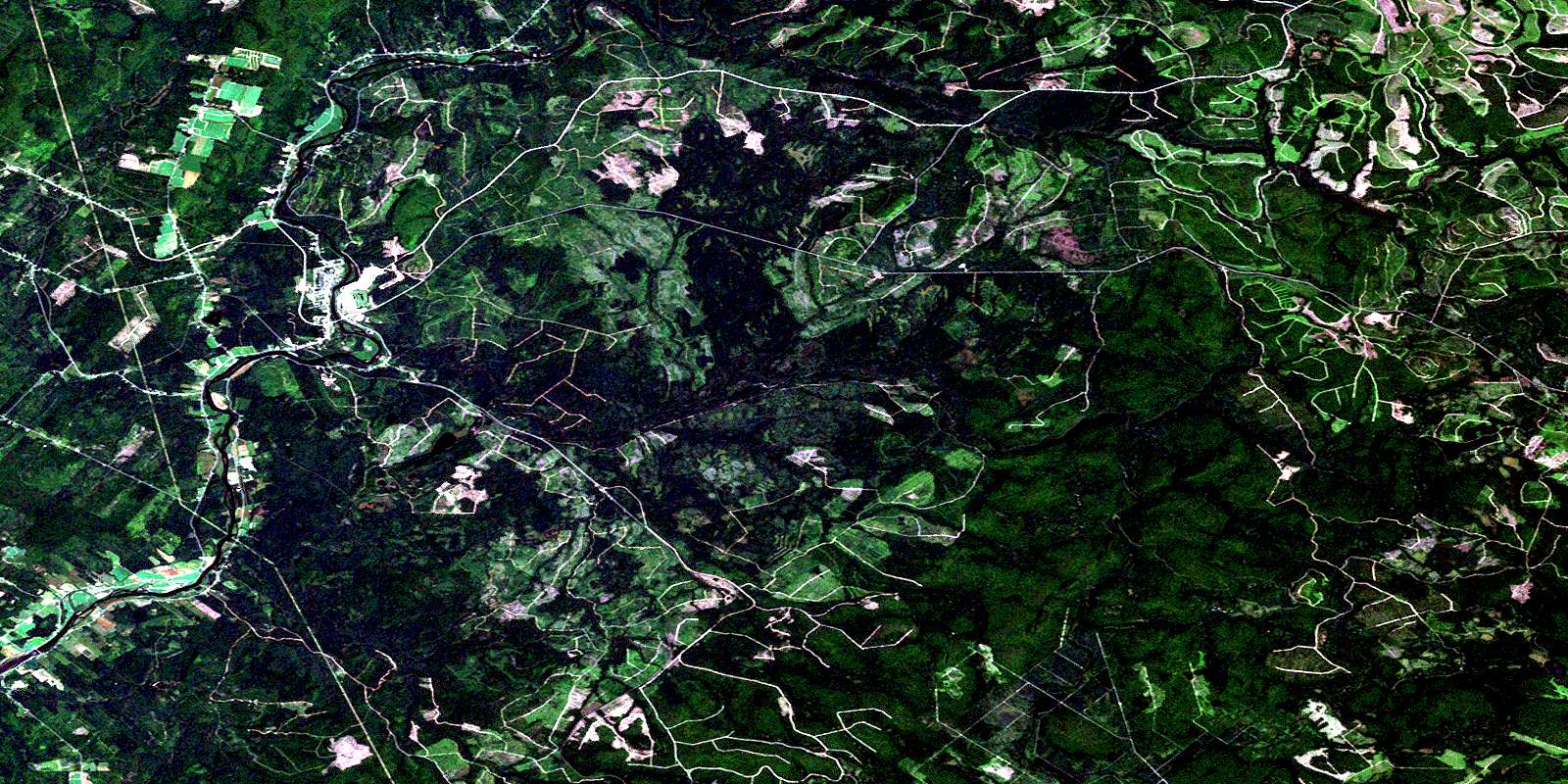
© Department of Natural Resources Canada. All rights reserved.
021J Related Maps:
021J Woodstock021J01 Minto
021J02 Burtts Corner
021J03 Millville
021J04 Woodstock
021J05 Florenceville
021J06 Coldstream
021J07 Napadogan
021J08 Boiestown
021J09 Doaktown
021J10 Hayesville
021J11 Juniper
021J12 Perth-Andover
021J13 Aroostook
021J14 Plaster Rock
021J15 Tuadook Lake
021J16 Mckendrick Lake
