Chipman Topo Map Online
Download Free Topo Map Sheet 021I04 at 1:50,000 scale
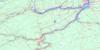
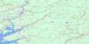
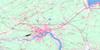
021I04 Chipman Topo Map
To view this map, mouse over the map preview on the right.
You can also download this topo map for free:
021I04 Chipman high-resolution topo map image.
Maps for the Chipman topo map sheet 021I04 at 1:50,000 scale are also available in these versions:
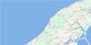
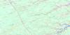
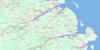
Chipman Surrounding Area Topo Maps
 |
 |
 |
 |
 |
 |
 |
 |
 |
 |
 |
 |
 |
 |
 |
 |
© Department of Natural Resources Canada. All rights reserved.
Chipman Gazetteer
The following places can be found on topographic map sheet 021I04 Chipman:
Chipman Topo Map: Bays
Baird CoveBairds Cove
Barton Cove
Cumberland Bay
Iron Bound Cove
Mistake Cove
Newcastle Bay
Northeast Arm
Salmon Bay
Chipman Topo Map: Capes
Bailey PointBarton Point
Cox Point
Cox Point East
Hawkes Point
Indian Point
Lead Island (Indian) Point
Mistake Point
Moray Point
Robinson Point
Chipman Topo Map: Channels
Back ChannelChipman Topo Map: Geographical areas
BrunswickCanning
Chipman
Johnston
Northfield
Queens
Sunbury
Waterborough
Chipman Topo Map: Islands
Barton IslandCurley Island
Curly Island
Long Island
Chipman Topo Map: Lakes
Barton LakeCameron Lake
Cranberry Lake
Grand Lake
Highwall Pond
McLean Lake
Parks Lake
Scottie Pond
Sherry Pond
Whistler Pond
Chipman Topo Map: Marine navigation features
McAllister WharfChipman Topo Map: Mountains
Cumberland Bay HillCumberland Hill
Pangburn Ridge
Wanamaker Ridge
Chipman Topo Map: Rivers
Bairds BrookBlack Water Brook
Buckley Brook
Campbell Brook
Canaan River
Chase Brook
Clark Brook
Coal Creek
Coy Brook
Coy Brook
Coy Brook
Cranberry Lake Stream
Cumberland Bay Stream
Cumberland Creek
Doherty Brook
Doherty Creek
Dorsey Brook
Foley Meadow Brook
Forks Stream
Gaspereau River
Hector Brook
Henderson Brook
Hutchinson Brook
Iron Bound Cove Stream
Larry Brook
Lawson Brook
Leckey Brook
Long Creek
Luckis Brook
McIntyre Brook
McKinney Brook
Meadow Brook
Miller Brook
Mistake Brook
Mowatt Brook
Newcastle Creek
No Mans Friend Brook
North Branch Coal Creek
North Coal Creek
North Forks Stream
Otter Brook
Perley Brook
Perry Brook
Redbank Creek
Riders (Miller) Brook
Salmon Creek
Salmon River
Shad Brook
Sisson Brook
Skunk Castle Brook
Solomon Brook
South Branch Coal Creek
South Coal Creek
Spring Brook
Stratton Brook
Three Mile Brook
Trout Brook
Vance Brook
Wasson Brook
Watts Brook
West Branch Coy Brook
Wilson Brook
Chipman Topo Map: River features
Davis TurnRound Turns
Smith Turn
Chipman Topo Map: Road features
O'Leary FerryChipman Topo Map: Shoals
McLure ShoalChipman Topo Map: Unincorporated areas
Briggs CornerBronson
Bronson Settlement
Camp Wegesegum
Canaan Forks
Cherryvale
Coal Creek
Coal Mines
Cox Point
Cumberland Bay
Cumberland Bay Station
Dufferin
Forks
Forks Stream
Fowlers Corner
Gaspereau Forks
Grant Settlement
Granville
Harley Road
Humphrey Corner
Hunters Home
Iron Bound Cove
Kings Mines
Kingscroft
Lower Salmon Creek
Midland
Newcastle Centre
North Forks
Pangburn
Pennlyn
Redbank
Salmon Creek
The Range
The Range
The Ridge
Upper Salmon Creek
Vance Landing
Wiggins
Chipman Topo Map: Villages
Chipman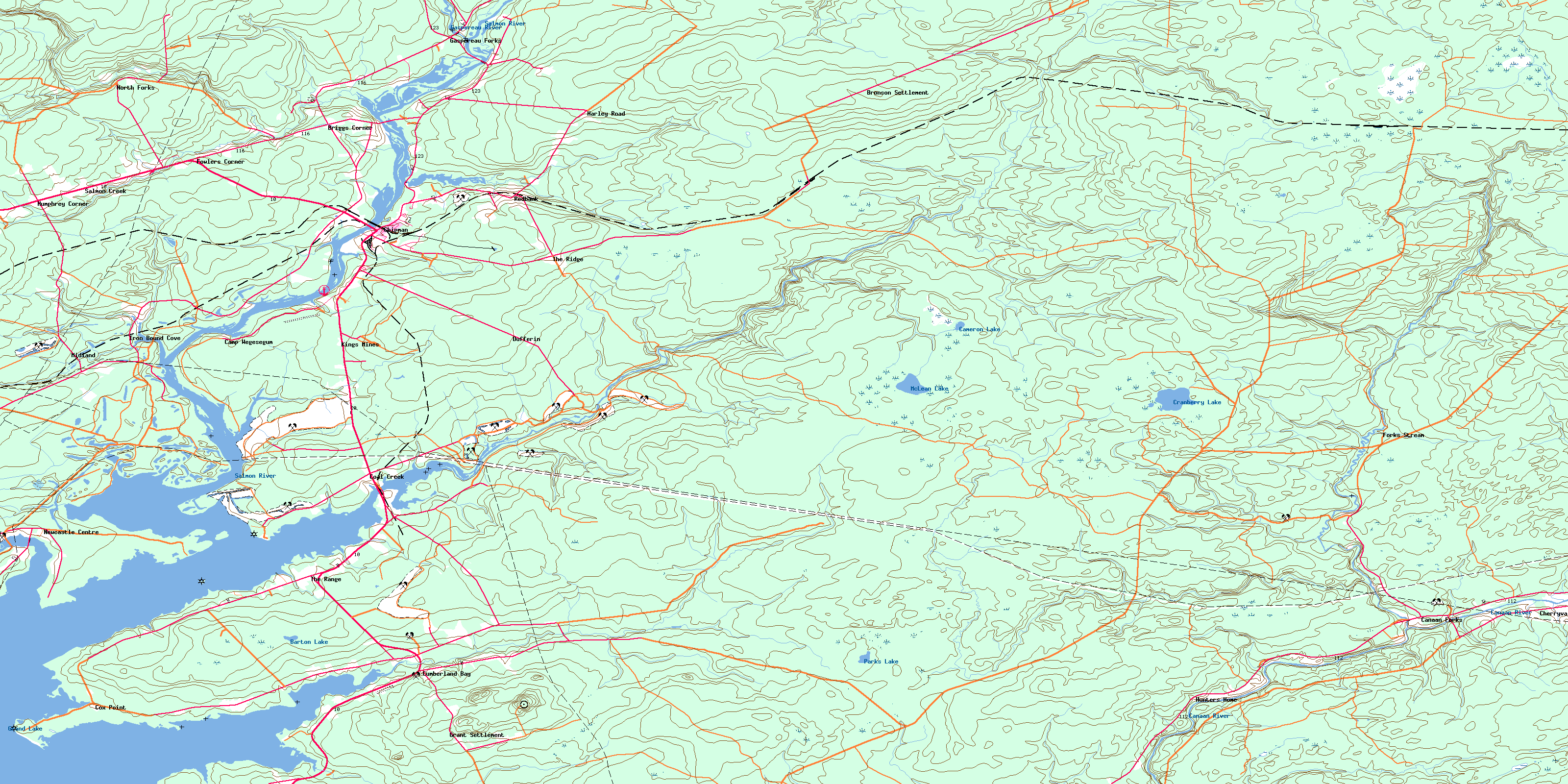
© Department of Natural Resources Canada. All rights reserved.
021I Related Maps:
021I Moncton021I01 Port Elgin
021I02 Moncton
021I03 Salisbury
021I04 Chipman
021I05 Salmon River Road
021I06 Harcourt
021I07 Buctouche
021I08 Cape Egmont
021I09 O'Leary
021I10 Richibucto
021I11 Rogersville
021I12 Blackville
021I13 Newcastle
021I14 Kouchibouguac
021I15 Pointe-Sapin
021I16 Tignish
