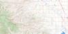
Pincher Creek Topo Map Online
Download Free Topo Map Sheet 082H05 at 1:50,000 scale
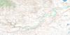
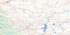
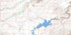
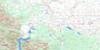
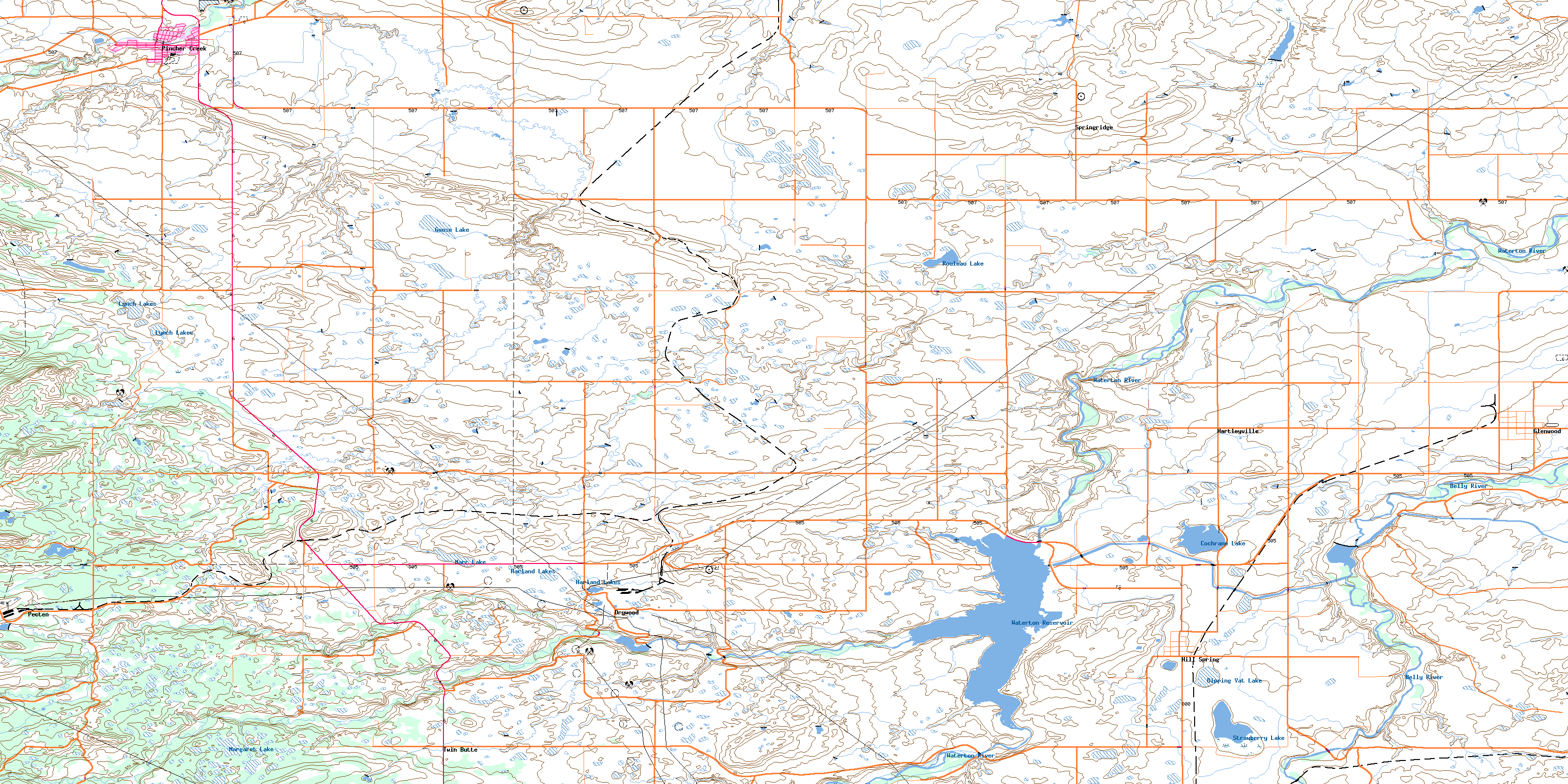
082H05 Pincher Creek Topo Map
To view this map, mouse over the map preview on the right.
You can also download this topo map for free:
082H05 Pincher Creek high-resolution topo map image.
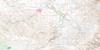
Maps for the Pincher Creek topo map sheet 082H05 at 1:50,000 scale are also available in these versions:
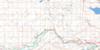
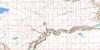
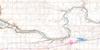
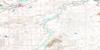
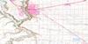
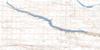
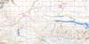
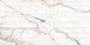
Pincher Creek Surrounding Area Topo Maps
 |
 |
 |
 |
 |
 |
 |
 |
 |
 |
 |
 |
 |
 |
 |
 |
© Department of Natural Resources Canada. All rights reserved.
Pincher Creek Gazetteer
The following places can be found on topographic map sheet 082H05 Pincher Creek:
Pincher Creek Topo Map: Indian Reserves
Piikani 147Pincher Creek Topo Map: Lakes
Cochrane LakeDipping Vat Lake
Goose Lake
Halifax Lake
Harland Lakes
Lime Kiln Lake
Lynch Lakes
Margaret Lake
Marr Lake
Rouleau Lake
Strawberry Lake
Waterton Reservoir
Pincher Creek Topo Map: Mountains
Hatfield HillRocky Mountain Foothills
Pincher Creek Topo Map: Major municipal/district area - major agglomerations
Cardston CountyMunicipal District of Cardston No. 6
Municipal District of Pincher Creek No. 9
Municipal District of Willow Creek No. 26
Pincher Creek Topo Map: Other municipal/district area - miscellaneous
Improvement District of Ranchland No. 6Pincher Creek Topo Map: Rivers
Belly RiverCrowlodge Creek
Drywood Creek
Drywood River
Foothill Creek
Indianfarm Creek
Kettles Creek
Pincher Creek
South Drywood Creek
South Drywood River
Spionkop Creek
Waterton River
Yarrow Creek
Pincher Creek Topo Map: Towns
Pincher CreekPincher Creek Topo Map: Unincorporated areas
DrywoodFishburn
Glenwoodville
Hartleyville
Omaktai
Pecten
Springridge
Twin Butte
Pincher Creek Topo Map: Valleys
Halifax CouleeScotts Coulee
Scotts Coulée
Pincher Creek Topo Map: Villages
GlenwoodHill Spring
Hillspring
© Department of Natural Resources Canada. All rights reserved.
